Main threats of large hail and damaging winds detailed today and Tuesday
Published 6:35 am Monday, March 4, 2024

|
Getting your Trinity Audio player ready...
|
As of Monday morning, the National Weather Service forecasters said Southeast Texas is still on track for strong to severe thunderstorms forming this afternoon.
The main threats are large hail and damaging winds.
“All of our forecast areas, including Southeast Texas, central Louisiana and southwest Louisiana, are under a Marginal Risk (1/5) for severe thunderstorms,”a Weather Service report said.
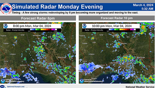
Simulated radar Monday evening, according to the National Weather Service.
“With most of the region under a Marginal Risk (1/4) for flash flooding except a sliver of far eastern Acadiana, which is under a Slight Risk (2/4), the timing for the storms will be from this afternoon through (Tuesday) morning.”
A second round of severe weather is possible on Thursday and Friday.
Make sure to stay weather-aware and keep an eye on the forecast and this week.
There is a Potential Risk of excessive rainfall Rainfall Amounts – 1 to 3 Inches with locally higher for late Monday night into Tuesday morning.
Some of the storms will become strong with the potential to produce high rainfall rates in a short period of time.