Update on Tropical Storm Harvey
Published 11:41 am Sunday, August 27, 2017
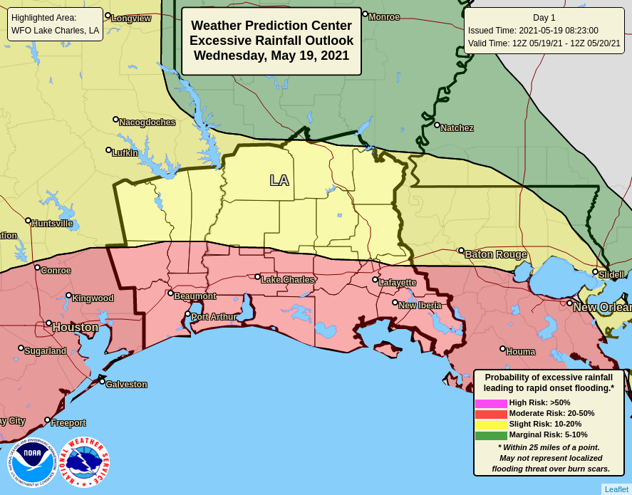
The National Weather Service in Lake Charles is watching Harvey slowly move back towards the central Texas coast. It will be near the coast Monday and Tuesday, before moving north, west of the Houston/Galveston area by the middle of the week. While we do not expect a significant wind problem with Harvey, the heavy rain and flood threat has increased across southeast Texas and southwest Louisiana for today and Monday. Between 10 to 20 inches of rain is expected today and tonight in southeast Texas, with 5 to 10 inches in southwest Louisiana. On Monday, another 5 to 10 inches of rain is expected in both southeast Texas and southwest Louisiana, and with the wet grounds from a wet year, expect to see widespread flooding.


