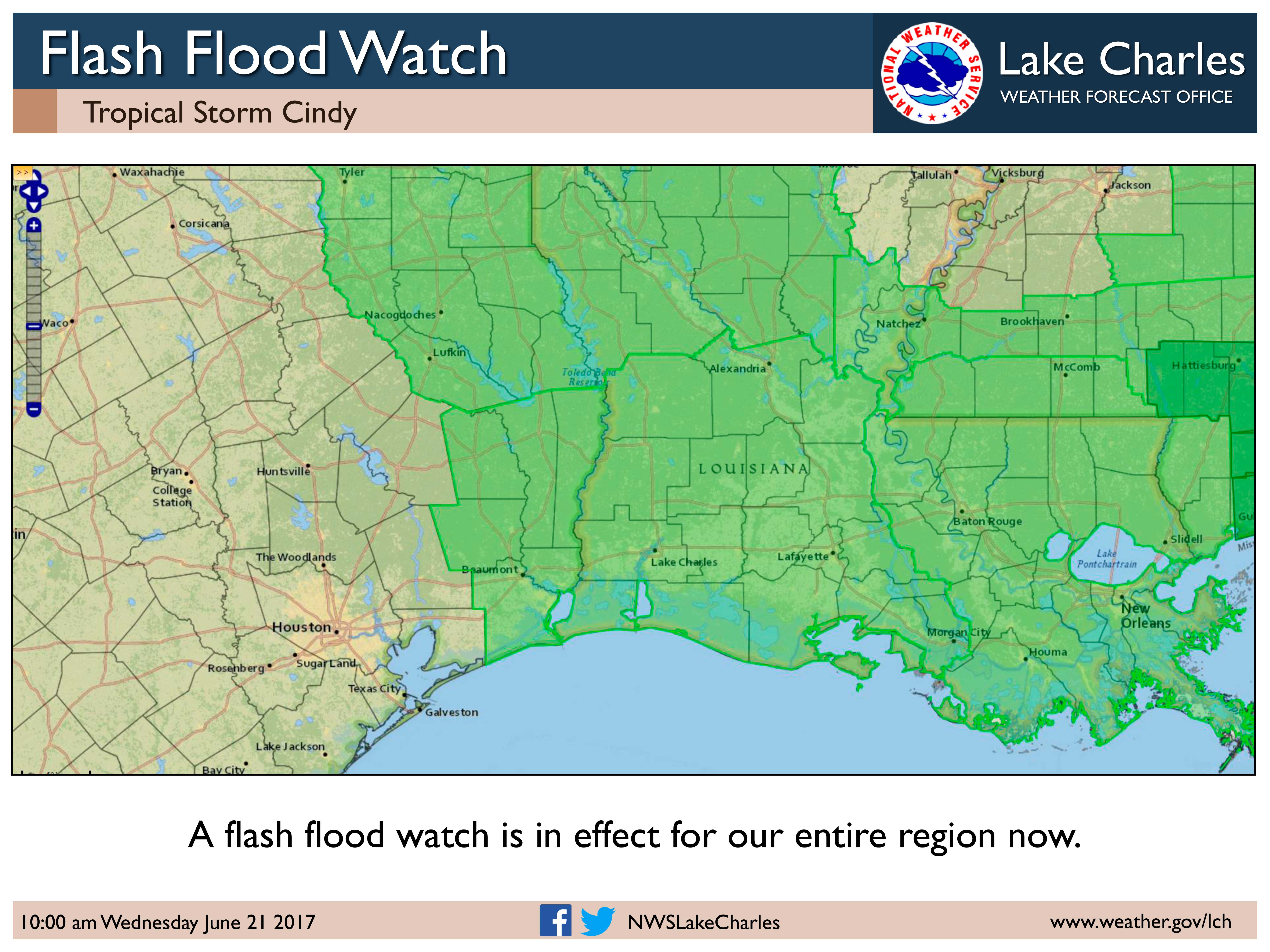
Update on TS Cindy 10 a.m.
Published 10:49 am Wednesday, June 21, 2017
As of 10 am, Tropical Storm Cindy has weakened slightly, down to sustained winds of 50 mph. Landfall projections still show a Texas-Louisiana state line location, sometime after midnight tonight, as a weak tropical storm.
We are still expecting 3 to 5 inches of rain, with the possibility of 10 inches if a slow moving rain band moves across your area. For people along and south of the I-10 corridor, this rain could easily cause flooding of streets due to the poor drainage conditions with the tides running so high.
For the tides, the danger is increasing for communities near the coast. Tides are running about 1.5 feet above normal right now, and that could go as high as 3 feet above normal during the high tide late tonight. Vulnerable locations to this above normal tide include Sabine Pass and sections of Highway 87 north of them, low areas near Bridge City, Highway 82 west and east of Holly Beach, downtown Cameron, Pecan Island, Intracoastal City, Delcambre, Cypremort Point, and Burns Point.
Wind-wise, tropical storm force wind gusts will start this morning in south central Louisiana, and move into southwest Louisiana and southeast Texas this afternoon. Central Louisiana and east Texas will see the stronger winds more likely tonight. The entire region should see winds subsiding by midday on Thursday. Due to the wind gusts, expect to see scattered power outages and a few trees fall down.
There is a small tornado threat for southwest, central, and south central Louisiana today and during the day on Thursday as well.


