On the road again
Published 5:10 pm Tuesday, June 30, 2015
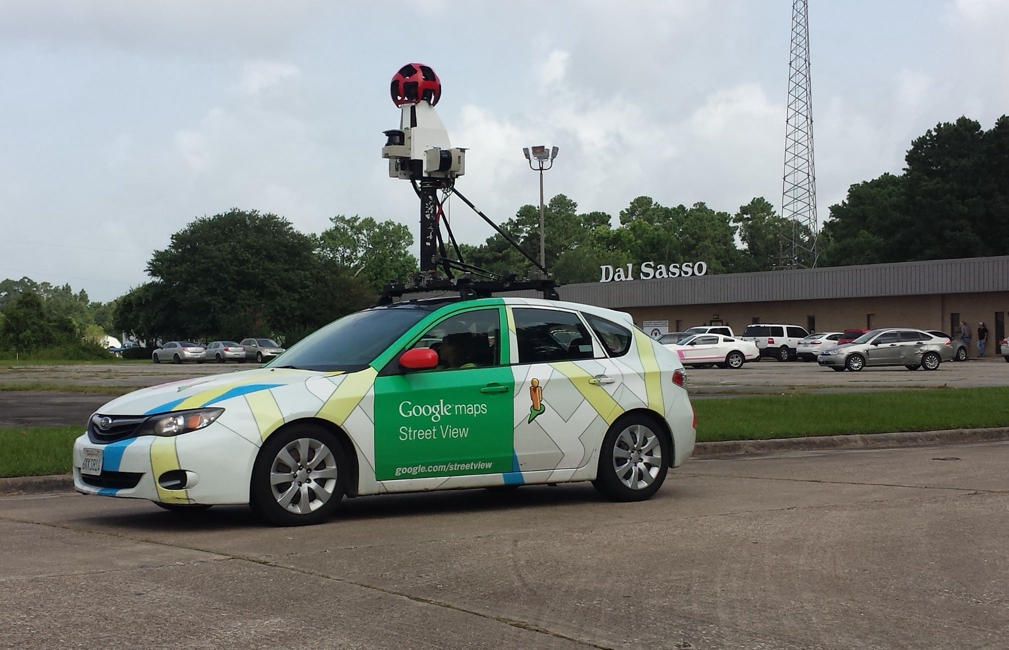
- The Google Maps Street View car was spotted traveling the streets of the greater-Orange area on Monday. According to Google.com, the program began in the U.S. in 2007 and the vehicle uses cameras, lasers and GPS devices to help construct 360-degree panoramic imagery of specific areas. (Tommy Mann Jr. / The Orange Leader)
The Google Maps Street View car was spotted traveling the streets of the greater-Orange area on Monday. According to Google.com, the program began in the U.S. in 2007 and the vehicle uses cameras, lasers and GPS devices to help construct 360-degree panoramic imagery of specific areas.

